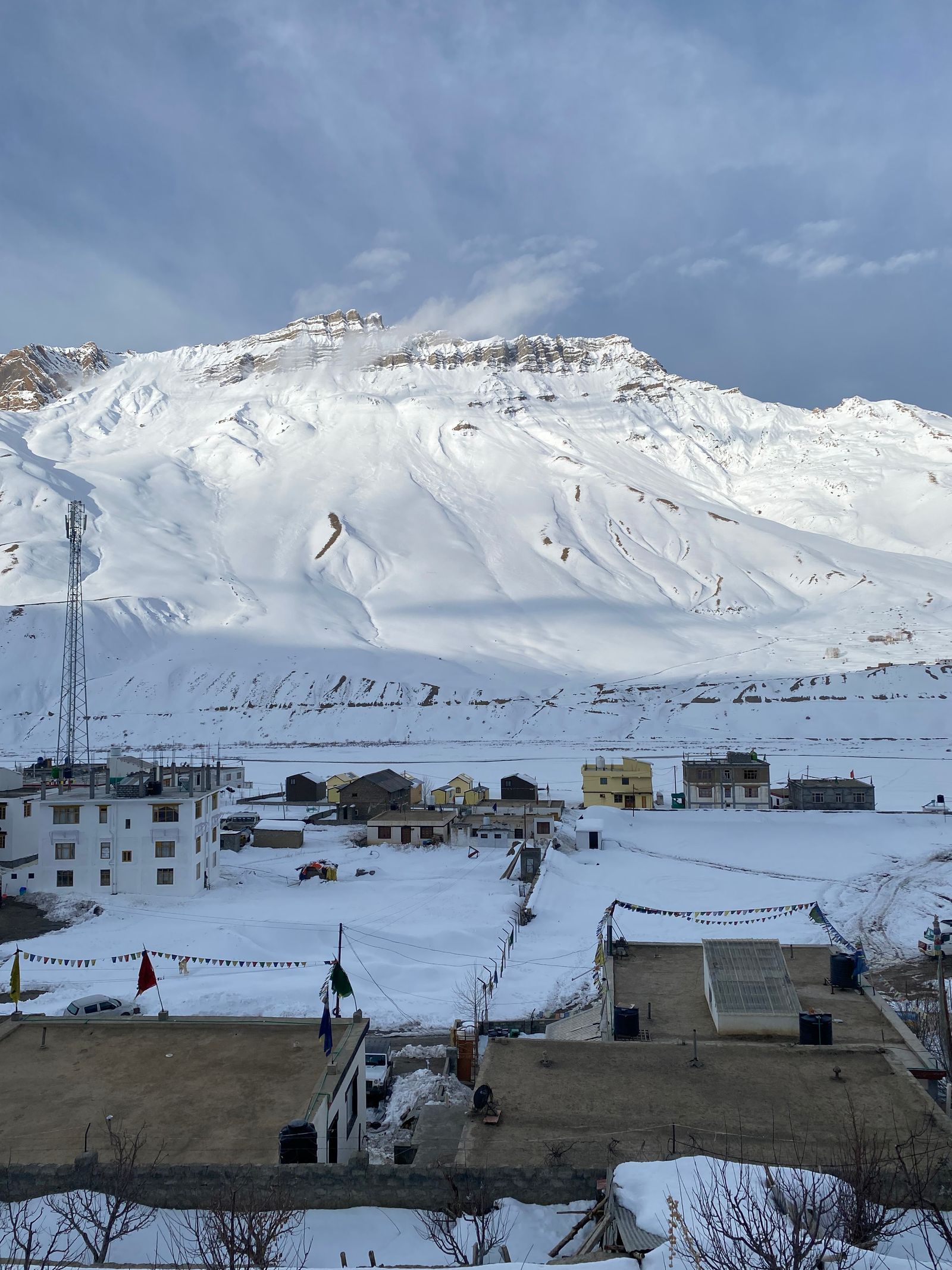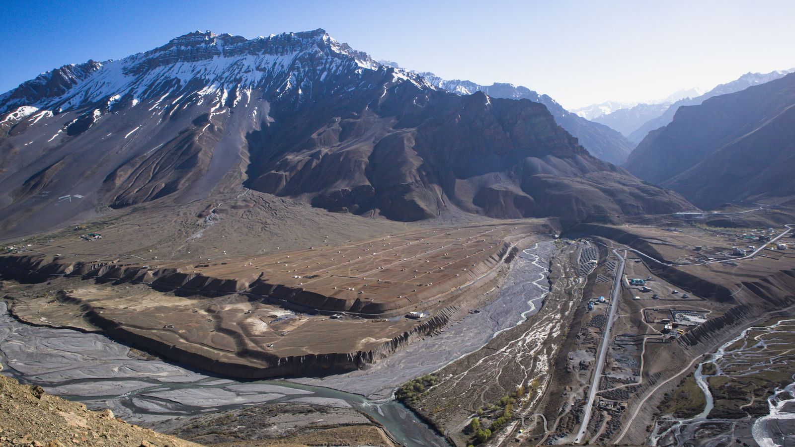
Few road trips in India change as much in a single week as the Kinnaur–Spiti grand circuit. You start among apple orchards and deodar forests above the Sutlej, climb into a cold desert of thousand-year-old monasteries and fossil-strewn villages, and finish by crossing Kunzum La to the blue water of Chandratal before dropping into Manali. This guide covers the route, a realistic 10-day itinerary, when to go, what the roads are really like, permits, costs and what to pack.
The circuit is a loop of roughly 950 km between Shimla and Manali, and almost every kilometre of it is scenery. It is not a difficult trip for a healthy traveller, but it is a long and high one – much of it above 3,500 metres, with patchy phone signal and stretches of broken road. Plan the direction, the pace and the season well, and it becomes the best road journey in Himachal.
What is the Kinnaur–Spiti grand circuit?
It is the full loop that links two very different valleys of Himachal Pradesh:
- Kinnaur – the greener, lower valley along the Sutlej and the Baspa, known for Sangla, Chitkul, Kalpa, apple orchards and views of the Kinner Kailash range.
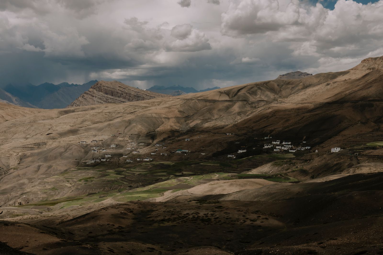
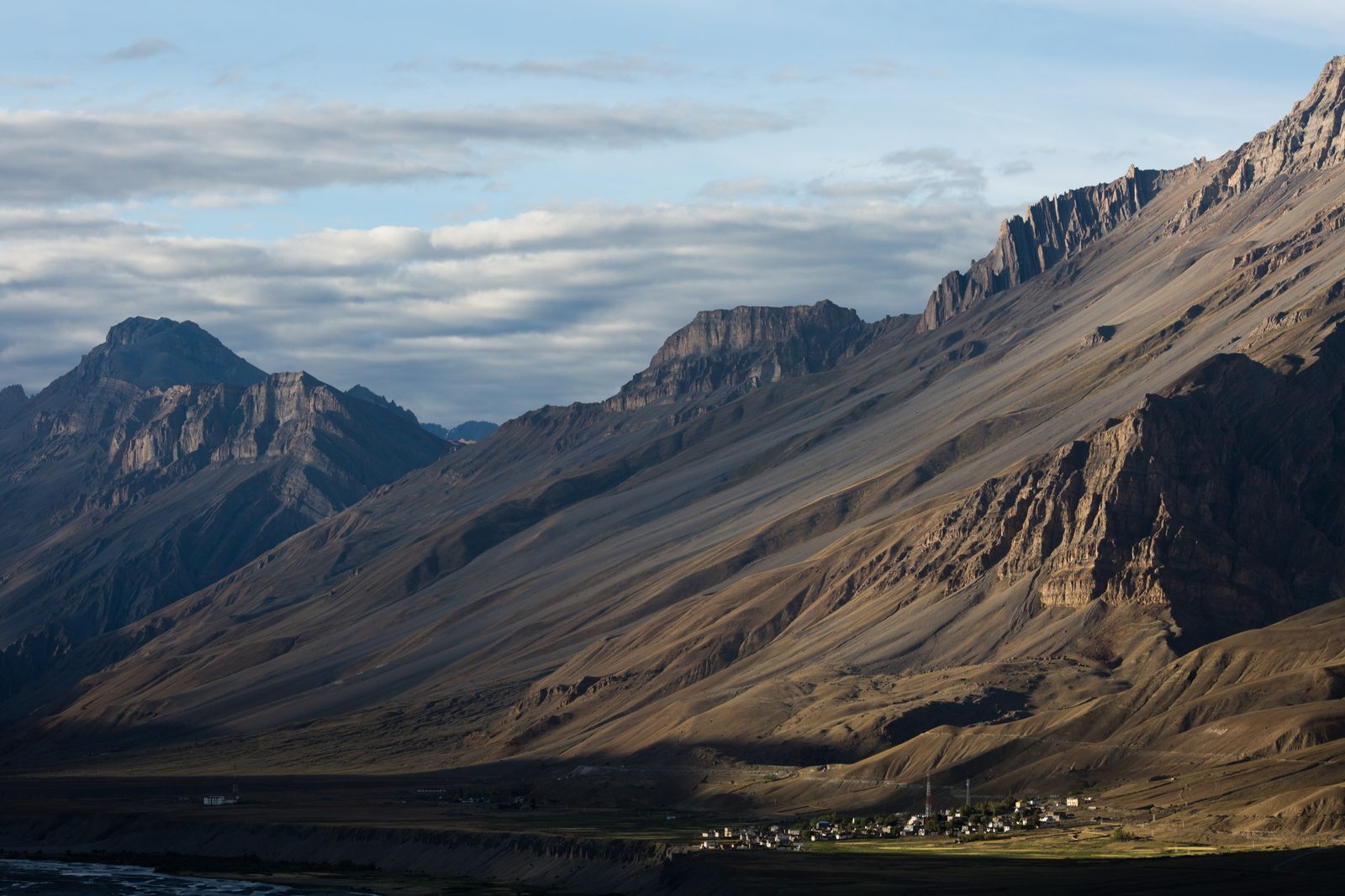
- Spiti – the high, dry, Tibetan-Buddhist valley beyond Nako, home to Tabo, Dhankar, Kaza, Key Monastery, Pin Valley and some of the highest villages in the world reachable by road.
- Lahaul – the final stretch over Kunzum La past Chandratal and Batal, which brings you out through the Atal Tunnel to Manali.
The classic route runs Shimla → Narkanda → Rampur → Sangla → Chitkul → Kalpa → Nako → Tabo → Dhankar → Kaza → Chandratal → Atal Tunnel → Manali. The Kinnaur side follows the old Hindustan–Tibet road, which is open for most of the year; the Kunzum La side is seasonal.
Which direction: start from Shimla, not Manali
This is the single most important planning decision. Go clockwise – enter through Shimla and Kinnaur, exit through Manali. The Shimla side gains height gradually over several days (Sangla sits around 2,700 m, Kalpa near 2,950 m, Nako around 3,650 m), so your body has time to adjust before Kaza at roughly 3,800 m.
Starting from Manali does the opposite: in one long day you go from about 2,000 m to Kunzum La at around 4,550 m and sleep high the same night. That is a common trigger for acute mountain sickness (AMS). The Manali route is also closed for most of the year, while the Shimla route usually stays open. Unless you are already acclimatised, the anticlockwise loop is best avoided.
Best time for the Kinnaur–Spiti circuit
The full loop is only possible while Kunzum La and the Batal–Gramphu road are open – typically from mid-June to mid-October, depending on snowfall. Within that window, each month feels different:
| Period | What to expect | Verdict |
|---|---|---|
| Mid-June – early July | Passes freshly opened, snow walls near Kunzum, cold nights, strong streams on the Lahaul side in the afternoon | Good, but check the road status first |
| Mid-July – August | Spiti stays mostly dry (it is a rain-shadow area), but monsoon rain in lower Kinnaur can cause landslides and road closures | Possible, with buffer days |
| September – mid-October | Clear skies, stable roads, apple harvest in Kinnaur, golden poplars in Spiti, fewer crowds | The best window |
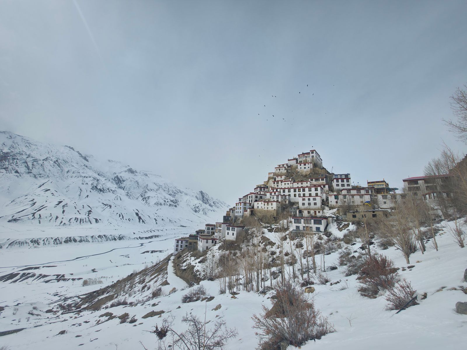
| Mid-October – mid-June | Kunzum La closes; only the Shimla–Kinnaur–Kaza route is usable, and it becomes a snow trip | Do a winter Spiti trip instead |
If you are reading this in September, the next four to five weeks are the last chance to do the full loop this year. After Kunzum closes, consider our Winter Spiti Valley trip, which goes in and out through Kinnaur.
The 10-day Kinnaur–Spiti itinerary
This is the pace we recommend for most travellers: long enough to acclimatise properly, with one full day each for Kaza's high villages and Pin Valley. Distances and drive times are approximate and depend on road work and weather.
Day 1: Shimla → Sangla (about 230 km, 8–9 hours)
An early start is essential. The road climbs through the orchards of Narkanda, drops to Rampur Bushahr on the Sutlej, and then enters Kinnaur past the Karcham dam, where you turn off into the Baspa valley. If you have time, the Bhimakali temple at Sarahan is a short detour. Sangla (about 2,700 m) is a gentle first night – wooden houses, a rushing river and cool air.
Day 2: Sangla – Chitkul – Sangla (about 50 km round trip)
Drive up the valley to Chitkul (about 3,450 m), the last inhabited village on this road before the border. Walk down to the Baspa, visit the old Mathi temple, and have tea at one of the little dhabas that proudly advertise themselves as the last in India. On the way back, stop at Rakchham and, in Sangla, the Kamru Fort temple. This is a light day by design – it helps you acclimatise.
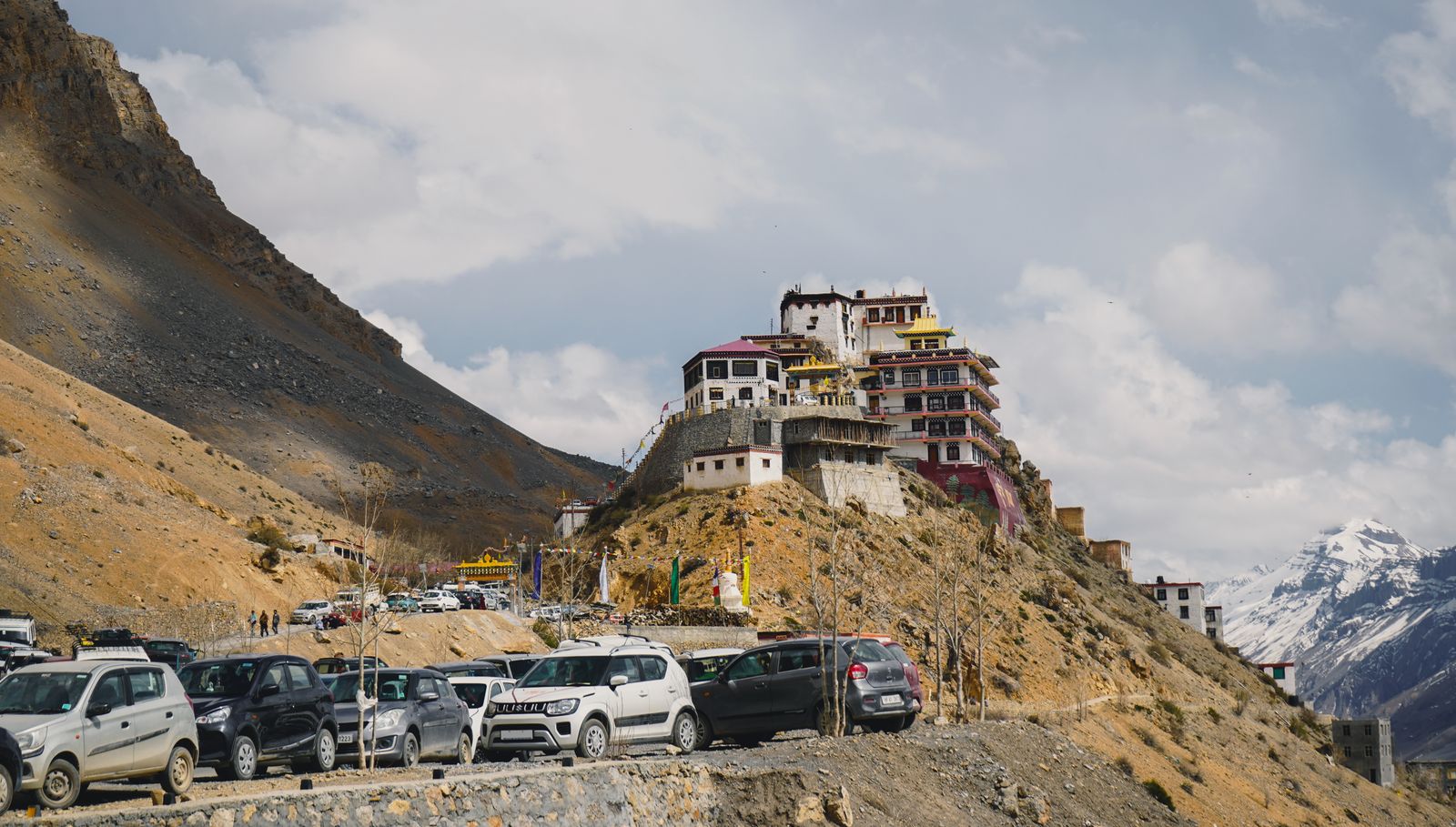
Day 3: Sangla → Kalpa (about 50 km, 2–3 hours)
Return to Karcham and climb past Reckong Peo, the district headquarters, to Kalpa (about 2,950 m). Kalpa is all about the view: the Kinner Kailash range fills the skyline across the valley, and in September the orchards around the village are heavy with apples. In the evening, drive the short, dramatic cliff road towards Roghi for sunset. Reckong Peo is a good place to use an ATM and fill up on fuel.
Day 4: Kalpa → Nako (about 105 km, 4–5 hours)
This is where the landscape changes. The green slopes fall away, and the road cuts along bare cliffs above the Sutlej. At Khab you will see the Spiti river join the Sutlej. Beyond Khab, a series of tight hairpins climbs to Nako (about 3,650 m), a stone village built around a small lake. The stretch near Malling is known for loose rock, so drivers cross it without stopping. Nako is quiet and very beautiful at dusk.
Day 5: Nako → Tabo (about 60 km, 2–3 hours)
A short drive with an interesting detour: at Sumdo, a side road leads to Gue, where a naturally preserved mummy of a monk, believed to be about 500 years old, is kept in a small shrine. Then continue to Tabo (about 3,280 m). Its monastery was founded in 996 CE, and the mud-walled prayer halls hold murals and statues that have survived for more than a thousand years. Photography is not allowed inside the old halls, so simply take your time. Climb up to the meditation caves above the village for the evening view.
Day 6: Tabo → Dhankar → Kaza (about 70 km, 3–4 hours)
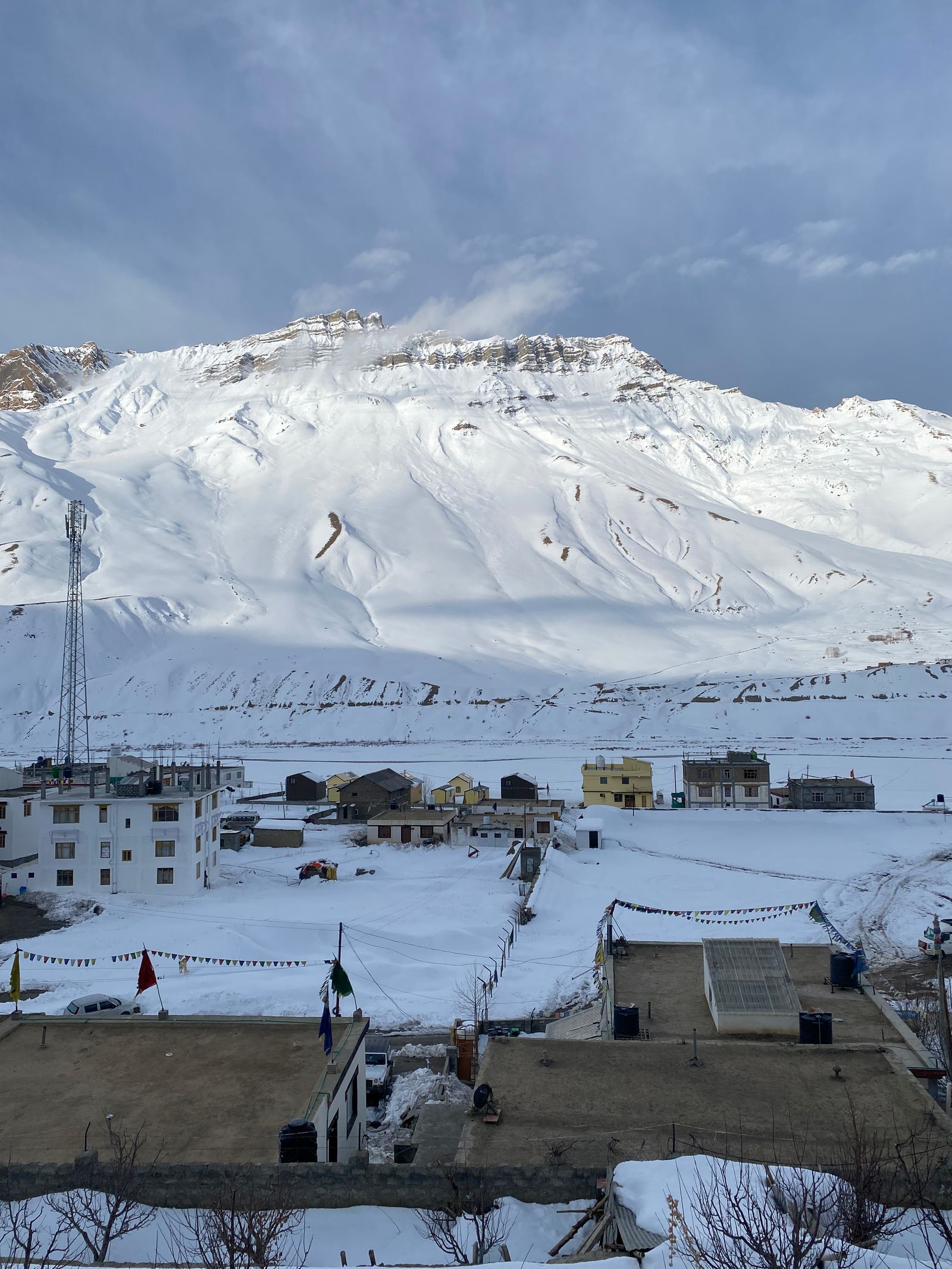
Dhankar Monastery is perched on a crumbling ridge of eroded rock high above the meeting point of the Spiti and Pin rivers – one of the most striking sights on the whole circuit. If you feel well, the walk up to Dhankar Lake (around an hour uphill) is an excellent acclimatisation hike. Afternoon drive to Kaza (about 3,800 m), Spiti's main town, where you will spend three nights.
Day 7: Key, Kibber, Chicham, Langza, Hikkim & Komic
The classic Kaza day out covers the high villages in two loops:
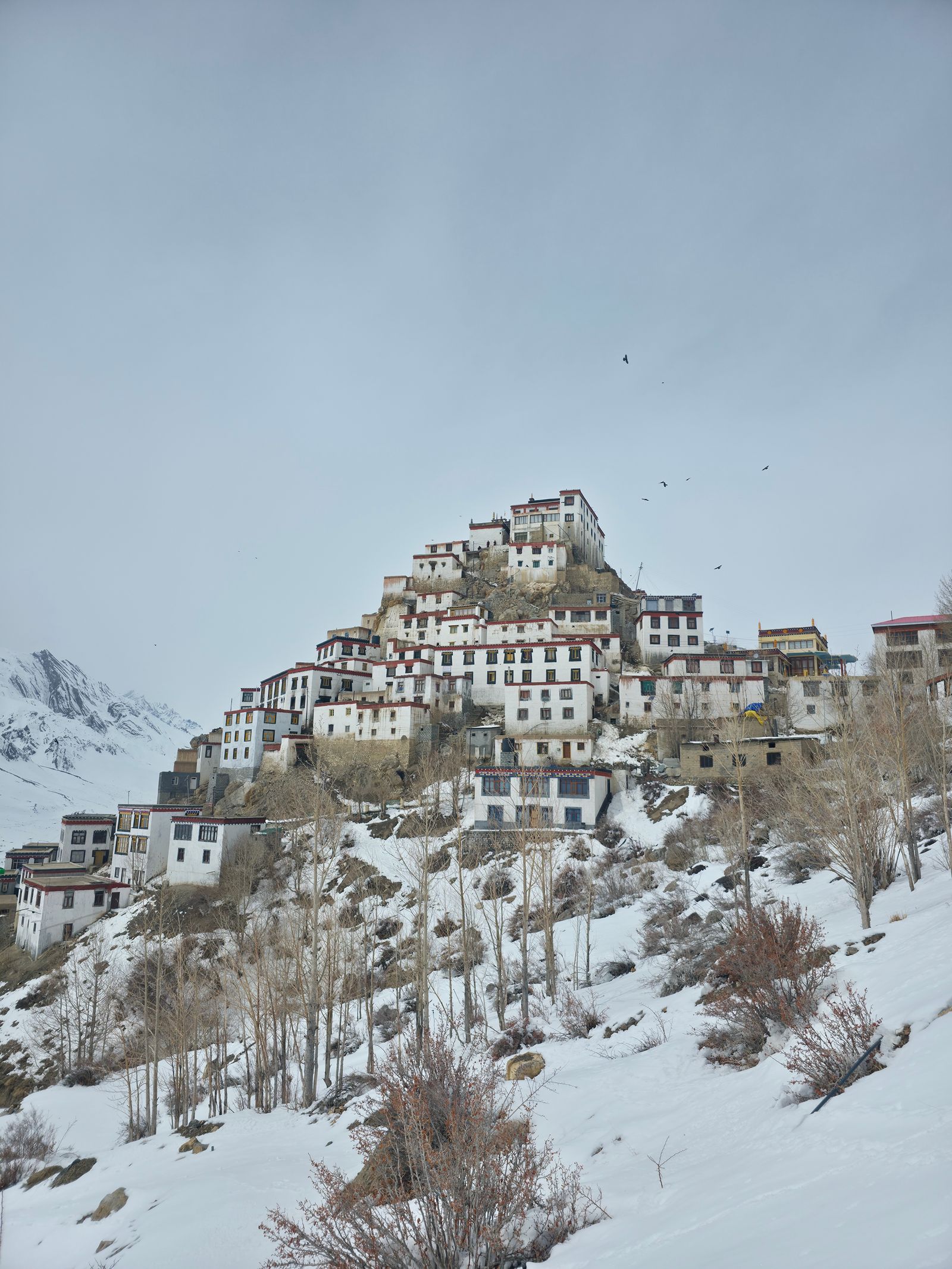
- Key Monastery (about 4,100 m) – the tiered white gompa on a cone of rock that appears on every Spiti postcard. Try to be there for the morning prayers.
- Kibber and the Chicham bridge – one of the highest bridges in Asia, spanning a very deep gorge.
- Langza – famous for its large golden Buddha statue watching over the valley, and for marine fossils found in the surrounding slopes.
- Hikkim – home to one of the highest post offices in the world. Posting a postcard home from here is a favourite ritual.
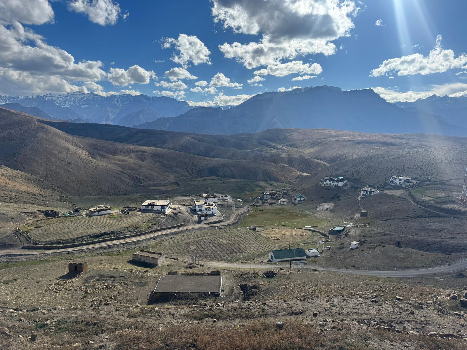
- Komic – among the highest villages in Asia connected by road, with a small, very old monastery.
These villages are all above 4,000 m, so move slowly, drink plenty of water and come back down to Kaza to sleep.
Day 8: Pin Valley
Head back towards Attargo and turn into the Pin Valley National Park, a greener, softer valley than the rest of Spiti. The road ends at Mudh, a village of flat-roofed houses surrounded by barley fields and wide riverbeds. Short walks from Mudh give you the best chance of seeing Himalayan ibex on the slopes. Visit the Kungri monastery on the way back to Kaza. In the evening, walk around Kaza's market and the Sakya Tangyud monastery.
Day 9: Kaza → Losar → Kunzum La → Chandratal (about 95 km, 5–6 hours)
Fill the tank in Kaza – there is no reliable fuel until you are back near Manali. The road follows the Spiti river past Losar, then climbs to Kunzum La (about 4,550 m), marked by prayer flags and a small shrine to Kunzum Devi. Drivers traditionally circle it before crossing. From the pass, a rough side road leads to the camps near Chandratal, the crescent-shaped “moon lake” at about 4,250 m. Camping is not allowed on the lake shore itself, so the campsites are a short distance away; you drive most of the way and walk the last part to the water. Go for sunset, and if the sky is clear, stay up for the stars. Nights here are cold even in August.
Day 10: Chandratal → Batal → Atal Tunnel → Manali (about 120 km, 6–7 hours)
Leave at first light. The stretch from Batal through Chhota Dara and Chhatru to Gramphu is the roughest road of the whole trip: loose stones, deep ruts and several water crossings (nallahs). Glacier melt makes these streams stronger as the day warms up, so crossing them in the morning is much safer. At Gramphu you rejoin good tarmac, pass through the Atal Tunnel and descend into the green Kullu valley and Manali.
Short on time? An 8-day version skips Sangla–Chitkul (Shimla to Kalpa directly) and combines Key–Kibber with Langza–Hikkim in one day. Our Spiti Valley Circuit (Shimla to Manali) follows that faster pace, while the Kinnaur & Spiti Grand Circuit follows the full 10-day plan above.
Altitude sickness: how to stay safe
Most people who feel unwell in Spiti have gone up too fast. A few simple rules make a huge difference:
- Follow the clockwise route and do not skip the lower nights at Sangla and Kalpa.
- Drink 3–4 litres of water a day, even though you may not feel thirsty in the cold.
- Avoid alcohol and smoking for the first few high nights.
- Walk slowly on the first evening at Nako and Kaza. Don't rush up stairs or hillsides.
- Know the warning signs – headache, nausea, dizziness, breathlessness at rest or unusual tiredness. If symptoms get worse, go lower. Descending is the real cure.
- Talk to your doctor before the trip about preventive medication, especially if you have heart, lung or blood-pressure conditions. Children and senior citizens can do this trip, but they need a slower pace.
Road conditions & driving tips
The roads have improved a lot, but this is still serious mountain driving.
- Kinnaur (Shimla to Nako): mostly paved, but narrow in places, with cliff-cut sections and ongoing work. Landslides and falling stones are the main risk, especially after rain.
- Spiti (Nako to Kaza): generally good tarmac with some broken patches. The side roads to the high villages are narrow and steep.
- Kaza to Kunzum La: fair, with some rough sections near the top.
- Batal to Gramphu: the toughest part – unpaved, rocky and crossed by streams. A high-clearance vehicle and an experienced mountain driver make it far less stressful.
Self-drive or hire a driver? A confident driver with experience of hill roads can self-drive, preferably in an SUV. Most families and first-timers choose a local driver who knows the route, because they know where the loose-rock zones are, when a nallah is safe to cross, and which stretches to avoid after dark. Never drive these roads at night.
Fuel: fill up at Rampur, Reckong Peo and Kaza whenever you can. Between Kaza and the Manali side, carry enough fuel for the whole stretch.
Permits, phone network & cash
- Indian nationals do not need an inner line permit for the standard circuit. Carry an original photo ID; there are police check posts where details are noted.
- Foreign nationals need a Protected Area Permit for the stretch near the border between Kinnaur and Spiti. It can be arranged in advance through a registered operator or at the district offices.
- Network: BSNL and Jio have the widest coverage and work in Kaza and most towns. Expect long dead zones in between, and almost none at Chandratal. Let family know your plan before you lose signal.
- Cash: ATMs are available at Rampur, Reckong Peo and Kaza, but they sometimes run out. Carry enough cash for homestays, dhabas and camps, where UPI often doesn't work without network.
Where to stay on the circuit
Accommodation gets simpler as you go higher, and that is part of the charm.
- Sangla & Kalpa: a good range of hotels and riverside or orchard-view properties, from budget to comfortable.
- Nako & Tabo: mostly guesthouses and homestays, with a few small hotels. Clean and warm, but basic.
- Kaza: the widest choice in Spiti – hotels, boutique stays and homestays. Staying a night in a family homestay in Langza or Kibber is a memorable experience if you are well acclimatised.
- Chandratal: tented camps with shared or attached toilets and simple hot meals. Expect sub-zero nights; camps provide heavy quilts, but bring thermals.
In September and early October, the popular places in Kaza and Chandratal fill quickly, so book in advance.
How much does the Kinnaur–Spiti circuit cost?
Costs depend mostly on how many people share the vehicle and what kind of stays you choose. The figures below are indicative 2026 estimates for a 10-day trip, per person, for a group of four sharing one vehicle and rooms on a twin-sharing basis:
| Expense | Budget | Comfort |
|---|---|---|
| Vehicle with driver (share per person) | ₹11,000–14,000 | ₹14,000–18,000 |
| Stays (9 nights incl. Chandratal camp) | ₹8,000–11,000 | ₹14,000–22,000 |
| Food | ₹5,000–7,000 | ₹7,000–10,000 |
| Entry fees, tips & extras | ₹1,500–2,500 | ₹2,500–4,000 |
Add your travel to Shimla and back from Manali. Travelling as a couple costs more per person, since two people share the vehicle instead of four. A planned Kinnaur & Spiti package starts from ₹27,999 per person and includes stays, breakfast and dinner, a private vehicle with an experienced hill driver, and on-trip support.
What to pack for Kinnaur & Spiti
Temperatures can go from a warm 20°C in the afternoon sun to below zero at night on the same day, so layers matter more than one heavy jacket.
🏔️ Kinnaur–Spiti packing checklist
- Thermal inners (2 sets)
- Fleece or warm sweater
- Down or padded jacket
- Woollen cap & gloves
- Warm socks
- Comfortable walking shoes
- UV sunglasses
- SPF 50 sunscreen & lip balm
- Moisturiser
- Reusable water bottle
- Personal medicines & basic first aid
- Power bank
- Torch or headlamp
- Dry snacks & energy bars
- Enough cash
- Original photo ID
Common mistakes to avoid
1. Doing the loop anticlockwise
Starting from Manali and sleeping at Chandratal or Kaza on the first or second night is the fastest way to get altitude sickness. Start from Shimla.
2. Squeezing it into 6 or 7 days
It can be driven faster, but you will spend most of your time in the car and have no margin for a landslide or a closed road. Ten days is comfortable; eight is the practical minimum.
3. Not keeping a buffer day
A single road closure in Kinnaur or snow at Kunzum La can hold you up for a day. Don't book a non-refundable flight home the same evening you plan to reach Manali.
4. Crossing nallahs in the afternoon
The streams on the Batal–Gramphu stretch are gentle in the morning and much stronger by afternoon. Plan to cross them early.
5. Relying on cards, UPI and mobile data
Carry cash, download offline maps and share your itinerary with someone at home before you leave Reckong Peo.
6. Assuming Kunzum La is open
Opening and closing dates change every year with the snow. Check the latest road status from local sources a few days before you go, especially in June and October.
Kinnaur gives you the orchards, the rivers and the warm wooden villages; Spiti gives you the silence, the monasteries and the endless sky. Take it slowly, and the grand circuit will stay with you long after the dust has washed off your shoes.
Frequently asked questions
How many days are needed for the Kinnaur–Spiti circuit?
Ten days from Shimla to Manali is ideal. Eight days is the practical minimum. Add two days if you are travelling from Delhi and back.
What is the best time to do the Kinnaur–Spiti circuit?
From mid-June to mid-October, when Kunzum La is open. September to mid-October has the clearest skies and the most stable roads.
Is the Kinnaur–Spiti road trip safe for families?
Yes, with the right pace and an experienced driver. Follow the clockwise route, keep a buffer day, and consult a doctor beforehand for young children, senior citizens or anyone with a heart or lung condition.
Can a normal car do the Spiti circuit?
Hatchbacks and sedans do reach Kaza from the Shimla side, but the Batal–Gramphu stretch and the Chandratal road are much easier in a high-clearance SUV. For comfort and safety, an SUV is strongly recommended.
Do Indians need a permit for Spiti and Kinnaur?
No inner line permit is needed for Indian nationals on the standard circuit. Carry an original photo ID for the check posts. Foreign nationals need a Protected Area Permit.
Can I do the circuit in winter?
Not the full loop, as Kunzum La closes from around mid-October. In winter, you can still reach Kaza through Kinnaur for a snow experience. See our Winter Spiti trip.
Kinnaur & Spiti trips with Yatraved
We plan this circuit end to end: stays chosen for each altitude, a private vehicle with a local hill driver, a pace that puts acclimatisation first, and support on the road when network is patchy. Take the full 10-day Kinnaur & Spiti Grand Circuit, the faster Spiti Valley Circuit from Shimla to Manali, the monastery-focused Nako, Tabo & Kaza trail, or just the Kinnaur side with Kalpa, Chitkul & Sangla. Browse all our Himachal trips, or share your dates and group size for a custom quote within 24 hours.